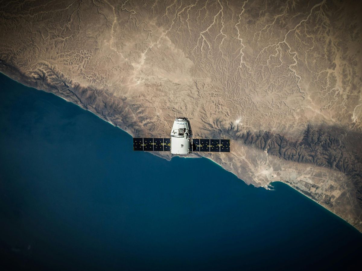
In recent years, satellite technology has emerged as a potent enabler for the mining industry. From enhancing exploration efficiency by providing high-resolution landform maps and real-time geochemical data analysis, to ensuring worker safety by detecting potential hazards such as unstable terrain or flooding risks, satellite imaging has the potential to revolutionise the efficiency and safety of mining operations around the world.
What are the benefits of using satellite imagery in mining?
Satellite imaging is becoming an essential part of the mining sector throughout many parts of the mining value chain, from exploration to operations to sunsetting the mine, owing to its ability to enable cost-efficient surveying, environmentally friendly practices, and enhanced safety benefits compared to existing techniques. The most significant benefits include:
Discovery & Assessment
Satellites enable geologists searching for potential mineral deposits monitor vast, difficult-to-access regions quickly and cost-effectively, reducing the time and resources required for traditional exploration methods. They accelerate the discovery process by providing high-resolution imagery of a potential site, along with up-to-date information on a site’s terrain, vegetation, and water levels without requiring a physical presence on-site.
“Satellites have been the vehicles to cover large areas of land through purpose-built sensors, essentially to aid in interpretations, observations, and monitoring. The interpretation capability is leveraged in the discovery of mineral deposits, while the observation capability helps in asset monitoring for tailings dams, along with the temporal changes and impacts of mining.”
-Dr. Sundar Singh, Technical Advisor for Prospect Innovation
For instance, satellite mapping, enhanced by artificial intelligence (AI), is projected to analyze over 10,000 square kilometers daily by 2025, facilitating the rapid assessment of gold, lithium, and rare earth elements across vast regions. Mineral exploration with satellites, particularly when combined with machine learning mapping, offers an estimated cost efficiency of 50–70% compared to conventional approaches.
Predictive Maintenance
After the mine is set up, satellite technology can continue to optimize operations on site. By incorporating satellite-connected IoT sensors and advanced analytics, mining companies can deploy robust predictive maintenance (PdM) programs that yield substantial improvements.
Research indicates cost savings of 8-12% compared to preventive maintenance, and a more significant 30-40% when compared to reactive maintenance strategies. Overall maintenance costs can be reduced by 25-30%, and cut equipment downtime by 35-45%. PdM also helps to minimize equipment breakdowns by 70-75%, and translates to increased production capacity of around 20-25% – US Department of Energy
Shandong Mining, a Chinese mining company, reported a 12% reduction in scheduled maintenance costs, a 30% decrease in overall maintenance costs, a 50% decrease in mechanical failure time, and a 70% decrease in failure rate through the implementation of predictive maintenance technology
Resource Optimization
Resource optimization is another area where satellite imagery delivers tangible benefits. By analyzing spatial data, mining companies can optimize resource allocation and scheduling. For instance, determining the most efficient haul routes leads to reduced fuel consumption and transportation costs. Companies like Rio Tinto and BHP Billiton have successfully optimized their mining operations based on satellite imagery analysis, resulting in significant cost savings and improved efficiency.
Logistics Coordination
Satellite imagery is proving instrumental in optimizing for logistics and informed decision-making for business profitability. It can help teams identify optimal tracks and roads to access drill site locations and set up continuous monitoring of material delivery. This increases the mine’s delivery capacity and maximizes profit. It can also help companies promptly identifies routes that no longer work due to flooding or other blockages, which helps support dynamic rerouting on-site, and allow companies to verify the scale and position of ore piles for accurate inventory and logistics coordination.
Environmental Monitoring
Satellite imaging also enables miners to identify the environmental impacts of their mining operations in real-time by monitoring changes in the mining site’s vegetation and land use across a large area of operations. It can detect issues like deforestation or water pollution earlier, allowing mining companies to prepare timely interventions that mitigate damage and ensure compliance with environmental regulations. Monitoring compliance with these regulations can often involve labor-intensive inspections and costly on-site assessments, but satellites offer a low-cost way for companies to generate accurate data for reporting purposes.
Workplace Safety
Satellite imaging can help miners ensure their safety during mining operations by allowing them to detect on-site hazards in real-time, for example landslide risks, toxic emissions or unstable land, and enable a fast response to these dangers before they cause injuries or loss of life at a mine.
What does the future of satellite use in mining look like?
As advancements in AI, machine learning, and satellite connectivity continue, future applications of this technology in mining will only expand. Beyond exploration, environmental assessment and safety hazard analysis, satellites could soon support monitoring of tailing containment facilities, mine rehabilitation efforts, and, paired with AI, autonomous equipment operation.
Experts predict that these innovations could eventually pave the way for the world’s first “smart mines” where end-to-end processes, from surveying to extraction to rehabilitation, are optimised through real-time satellite data.
Dr. Singh, believes that, “Future mining operations could involve satellite imaging more extensively as sensors get minaturised and deployed in a wider range of use cases. Micro-satellites and low-altitude satellites have higher resolution and are more cost-effective. As the technology evolves, we expect satellite imagery to continue supporting the discovery of leaner and deeper mineral deposits over large areas of earth surface”.
Some interesting developments in satellite technology for mining include advanced sensor technologies like hyperspectral imaging, which is the use of hundreds or even thousands of narrow and contiguous spectral bands to capture visual data, forming a “hyperspectral cube” of data. This enables an unprecedented level of detailed spectral analysis, allowing for the identification of unique “spectral fingerprints” of minerals and alteration zones that are indicative of potential deposits. This technology is particularly effective for detecting gold, lithium, and rare earth elements.
In the future, mining is looking towards an increasingly integrated, autonomous, and intelligent future, culminating in the vision of “smart mines.” These mines will entail seamlessly integrated satellite networks that manage vast amounts of data produced by mining assets daily or even hourly. Combined with advanced predictive maintenance, autonomously operated machinery, and enhanced resource modelling, these technologies will enable miners to operate with even more efficiency and sustainability.
Satellites today are no longer just optional tools for miners. They are becoming essential components of successful, sustainable mining operations, and will be critical in ensuring the monumental effort required for the green energy transition is undertaken with minimal environmental impact. They are improving efficiency in many areas of mine development, enhancing safety for workers on site, and allowing for cost-efficient, environmentally responsible practices. Paired with other technologies like AI-enabled image processing and autonomous vehicles, satellite technology addresses many of the challenges facing the industry today. As global demand for critical minerals continues to rise, embracing these innovations will be crucial to meeting tomorrow’s needs while safeguarding our planet. With ongoing advancements and increasing accessibility, the sky truly is the limit for satellite-enabled mining solutions.


